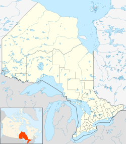
Woodstock, Oxford, Ontario
| Woodstock | |
|---|---|
| City (lower-tier) | |
| City of Woodstock | |
| Country | Canada |
| Province | Ontario |
| County | Oxford |
| Established | 1721 (as town) |
| 1891 (city) | |
| Area | |
| • Land | 48,575.99 km2 (18,755.29 sq mi) |
| Elevation | 300 m (1,000 ft) |
| Population (2016) | |
| • Total | 40,902 |
| • Density | 835.3/km2 (2,163/sq mi) |
| Forward sortation area | N4S to N4T |
| Area code(s) | 519 and 226 |
| Website | www.cityofwoodstock.ca |
| For infobox source see[1] | |
Contents
Subdivision Well Data
| Well ID | Operator Name | Spud Date | Well Status |
|---|---|---|---|
| F020154 | Silo Scrap Metal | No Well Found | |
| T001267 | British Petroleum Exploration Canada Ltd | 1962-08-22 | Abandoned Well |
For data sources see[2]
References
- ↑ "Woodstock, Ontario". Wikipedia. Retrieved 2020-09-15.
- ↑ "OGSR Library - Wells". Oil, Gas & Salt Resources Library. 2019-06-13. Retrieved 2020-08-07.
